-40%
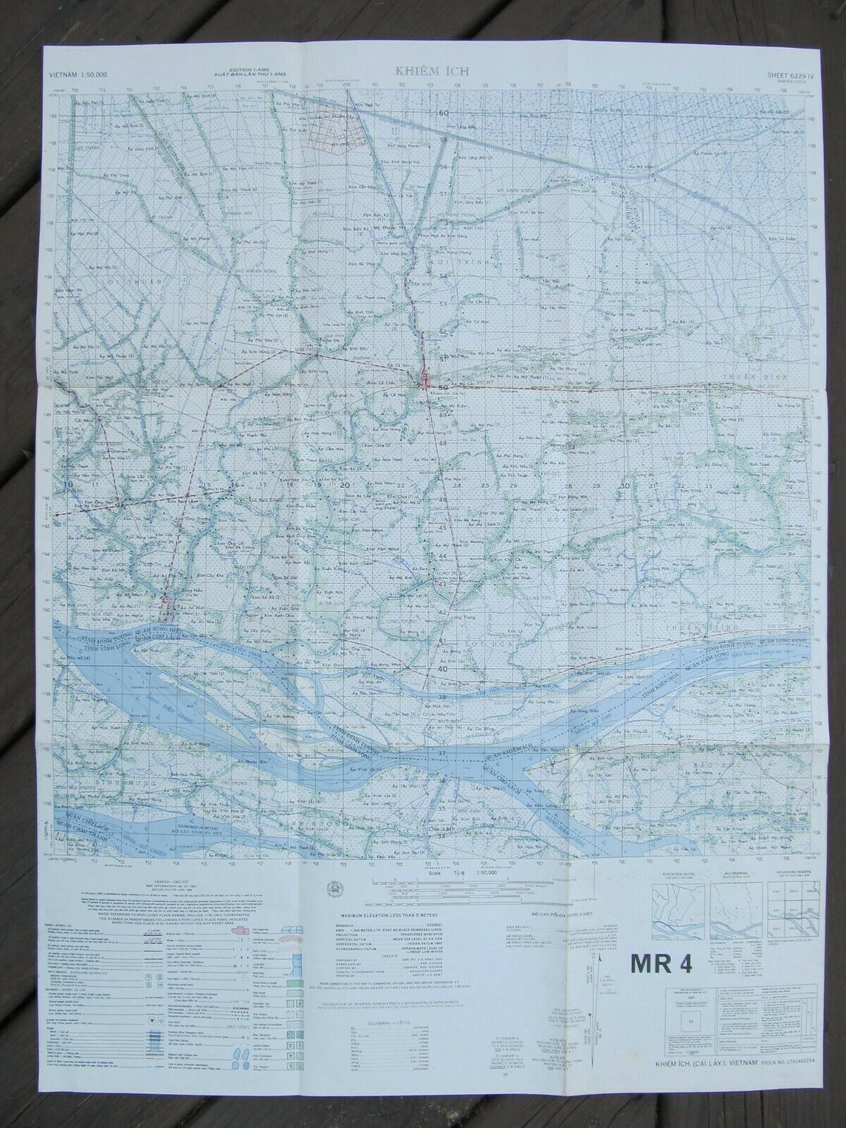
1965 ORIGINAL U.S. TOPOGRAPHICAL ARMY MAP - VIETNAM KHIEM ICH (MR4)
$ 4.95
- Description
- Size Guide
Description
This auction is for an originalsingle sheet
1965
U.S.
Army topographic map
of the
Vietnam
Khiem Ich area
covering the area around the southern Vietnamese
town of
Cai Lay
(Khiem Ich) in the
Mekong
Delta
province
of
Tien Giang
.
The map shows administrative boundaries, populated places, roads, tracks, watchtowers, native guard posts, temples, rivers, canals, and other water and vegetation features.
Includes legend, glossary and index to adjoining sheets.
Map stock number is:
L701462441
Scale is 1:50,000.
The map measures approximately 22 1/2" wide by 30 1/2" tall opened.
The map measures approximately 7 1/2" X 10" folded.
This hard to find map is in very good condition.
Please look at the pictures as they are also part of the description.
Please e-mail me if you have any questions.
Also, please see my other Militaria & military collectible auctions.


